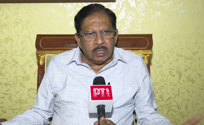
New app launched to fight govt land encroachment
This app boasts a comprehensive digital database of over 1.4 million government land parcels across the state.
Salar News

Bengaluru, 12 June
Karnataka Revenue Department has
launched a new mobile application to tackle the persistent issue of government
land encroachment. This app boasts a comprehensive digital database of over 1.4
million government land parcels across the state.
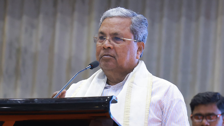
"This app offers a systematic
and reliable solution to identify land encroachment," said Revenue
Minister Krishna Byre Gowda. The app provides detailed digital records,
including survey numbers, land extents, and geo-boundaries, for every government
landholding in every village. This transparency aims to deter potential
encroachers.
The app leverages GPS technology to
map each property. Officials have physically visited nearly 600,000 of these
sites to verify their status. This initiative comes after a legislative bill
proposing land record digitization was introduced in December 2023. The plan
involves drone surveys and indexing of revenue records to further strengthen
land protection measures.
This app replaces the older Bhoomi
app, which digitised land records from manual formats in the early 2000s. The
new app, along with ongoing field verification by village administrative
officers (VAOs), establishes a robust system for safeguarding government land.
Beyond preventing encroachment, the app offers additional functionalities. Users can identify buffer zones, areas with building restrictions, similar to those viewable on revenue maps within Google Maps. A timelapse feature allows users to observe historical land-use changes within a specified area. This can be helpful in understanding buffer zones and regulations for future constructions. -Salar News
Leave a Reply
Your email address will not be published. Required fields are marked *




.png)
